
Trace a Southington Street by Address
A Southington street directory search works best as a handoff between record systems. Begin with the deliverable address, then preserve every identifier that appears. The property card answers an ownership and assessment question. The map shows parcel relationships and local layers. The tax search adds a dated bill trail. The Town Clerk's deed record supplies the legal conveyance. A public voter lookup can confirm a named registration, while an old directory or census can add historical household context. None of these steps alone proves everyone who uses a place.
- Normalize the street through the USPS address lookup. Test the current suffix and keep the postal city or village label that the result returns.
- Run the address in Vision's Address mode. If the spelling fails, try Street Listing and browse the street alphabetically. Save the PID, MBLU, account or List#, owner spelling, and both situs and mailing labels.
- Put the address or PID into the Tighe & Bond map. Open the parcel detail, note the map date, and use the adjacent-parcel tools only after the target parcel is clear.
- Use the account or street number in the GEMs tax search, and use a book/page reference from the Vision card in RECORDhub or the Town Clerk copy process.
- Check City Squared for address-linked permit, inspection, or certificate history. The town says to enter the number and street name without the suffix, and older documents are still being added.
- For a named person, use the Connecticut voter lookup and its town, name, and date-of-birth fields. For an earlier household, ask the library for the street or reverse-directory shelf and pair the result with census or newspaper evidence.
This sequence moves from a broad street directory question to a small set of source-specific facts. A current owner is not automatically a current occupant. A directory entry is not a deed. A registered address is not a complete household list. Keeping those distinctions in the notes makes a Southington address trail easier to check and less likely to overstate what a public record says.
Southington Street Records at a Glance
Address-keyed records in Southington are divided among town, map, tax, state, and library custodians. Connecticut has no operating county recorder or county assessor layer for this work. Hartford County is a geographic label, while the Town Clerk records local land instruments and the Assessor maintains the parcel card. The table keeps each source in its proper role.
| Address-Keyed Source | Keeper | Useful Fields | Access |
|---|---|---|---|
| Vision parcel card | Southington Assessor | Owner/co-owner, situs and mailing address, PID, MBLU, account/List#, value, sale history | Free web search; call the Assessor for questions |
| Parcel map | Tighe & Bond public GIS | Parcel shape, abutters, zoning, voting, ZIP, flood, sewer, soils, historic layers | Free viewer; print and export controls |
| Deed or recorded instrument | Town Clerk and RECORDhub | Grantor, grantee, book/page, recording details, legal description, image when available | Index plans online; clerk copies and counter help |
| Tax bill | Tax Collector GEMs | List number, billing address, year, gross/net, benefits, installments, payment history | Public search with dated-data notice |
| Permit history | Building Department and City Squared | Permit, inspection, certificate, unsafe-condition, and uploaded-document trail when visible | Property lookup; FOIA for a defined gap |
| Named voter lookup | Southington registrars and SOTS | Status, polling or residence address, district context for a named registration | Name-based lookup; full file has limits |
| Historic directory or census | Library, archives, and genealogy collections | Listed household, occupation, address snapshot, relationships, and place clues | Online collections and in-person Local History Room |
The same street name can therefore appear with different identifiers. Vision calls the account a List#. GEMs uses Parcel/List#. GIS accepts a Parcel ID. A deed is found by book and page. A court record uses a docket number. Copying the exact label and value at each handoff is more reliable than trying to make one source behave like another.
Search the Southington Assessor by Address
The Vision Government Solutions Southington search is the main current address doorway. Its source selector offers Address, Owner, Acct#, Mblu, PID, and All. Address, Owner, Acct#, PID, and All use a text field. Mblu changes to Map, Lot, and Unit fields, each with a seven-character maximum. The help text uses 130 NORTH MAIN ST as an address example, calls Acct# the List#, and provides an alphabetical Street Listing as a fallback when a typed query misses.
| Vision Mode or Field | Input | Street-directory use |
|---|---|---|
| Address | Street address text | Start with the normalized situs address |
| Owner | Name text | Find a current owner spelling or co-owner clue |
| Acct# | Account or List# | Carry the tax-record identifier into GEMs |
| Mblu | Map, Lot, Unit | Use parcel components, with seven characters maximum per box |
| PID | Parcel identifier | Bridge the card to GIS and retain the parcel key |
| All | All-field text | Try a broad search when the exact field is uncertain |
| Street Listing or Sales Search | Browse link or separate mode | Review the alphabetic street list or sale history |
The current Assessor page places the 2025 Grand List in a dated revaluation context. Assessment values, exemptions, and building data describe the tax record. They do not count every person at a premises. A mailing address can differ from the situs address, and an owner field can belong to a trust or other entity. Treat the card as a strong parcel and ownership lead, then verify the legal instrument when the distinction matters.
The Southington Assessor page connects the database with the office, revaluation information, GIS, document center, and inspection resources. This is the right contact when a street spelling, value, or parcel question needs a human answer rather than another repeated search.
The Southington Assessor page and its Vision database are shown below, which helps identify the local search entry point and its relationship to the municipal office.
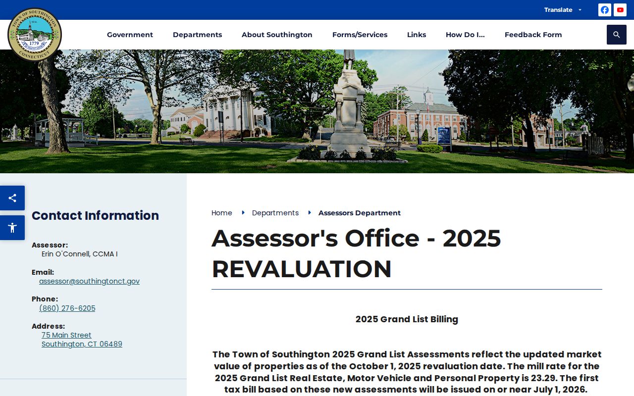
The page is a current-office doorway, while the Vision card remains the parcel-level record. Use both labels when contacting staff.
A sample Vision parcel card shows how much can be carried forward without repeating a private owner name: the card identifies 437 HOBART ST, MBLU 123 / 084, account 8556, PID 12734, a 1991 sale reference, and book/page 0515/0244. It also exposes owner and co-owner fields, situs and mailing address, values, building, land, outbuilding, sale, and valuation-history areas. A book/page clue is useful because it gives the Town Clerk a precise retrieval target.
The sample Vision parcel card below is a field inventory, not a directory entry. Its sale date and value are dated record fields, and its map disclaimer says the mapping is approximate.
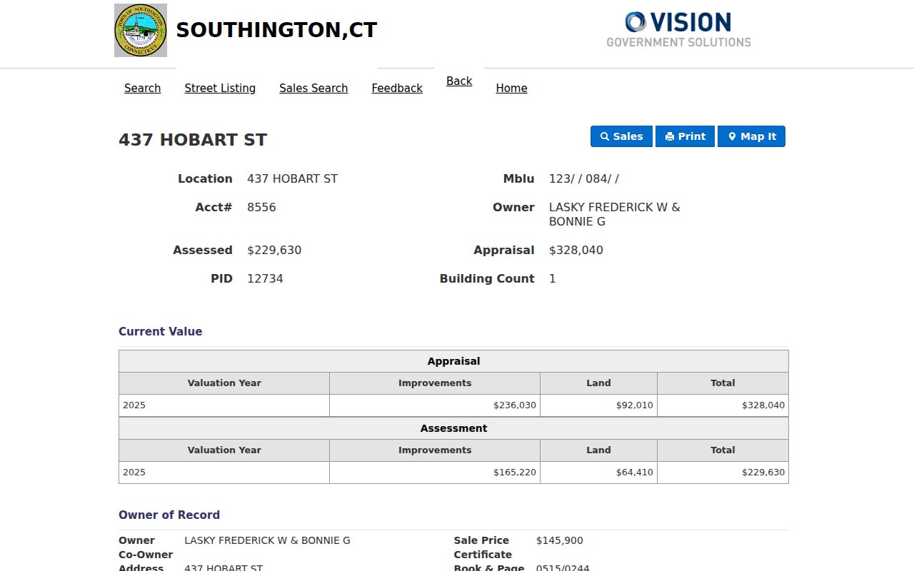
Use the PID and book/page as bridges, while leaving the private names on the source record.
Use Southington GIS for Nearby Parcels
The Tighe & Bond Southington public GIS viewer searches with the placeholder “Name, Address, Parcel ID.” A result row can show an index, complex, unit, owner, and address. Select the row, open Parcel Details or View Details, and return to the map when the parcel is confirmed. The target street can then be read as a set of parcels rather than as a loose line on a screen.
For an address-centered street directory, turn on only the layers that answer the question. Parcels and Parcel Annotation supply lot, dimensions, address number, development number, easement, condominium, and street labels. Planning and Zoning can add zoning, voting locations and districts, ZIP Codes, historic resources, and open space. Flood, sewer, soils, and Town Boundary layers add context. GIS metadata has different dates, and parcel development begins in 1999, so a map view is orientation rather than a final legal boundary.
The viewer's controls make a narrow street set possible. Adjacent selects touching parcels. Find Abutters returns the neighboring set. Abutter Distance helps compare a distance or relationship. Add Parcel and Remove Parcel edit the set, while Clear Abutters resets it. Print Labels, Export List, Measure in Ft or SqFT, and print settings for title and scale support a dated working copy. Confirm names and legal ownership in Vision and the Town Clerk before treating a map result as authoritative.
The Southington Tighe & Bond viewer is shown below, anchoring a street directory search to the parcel layer and its surrounding tools.
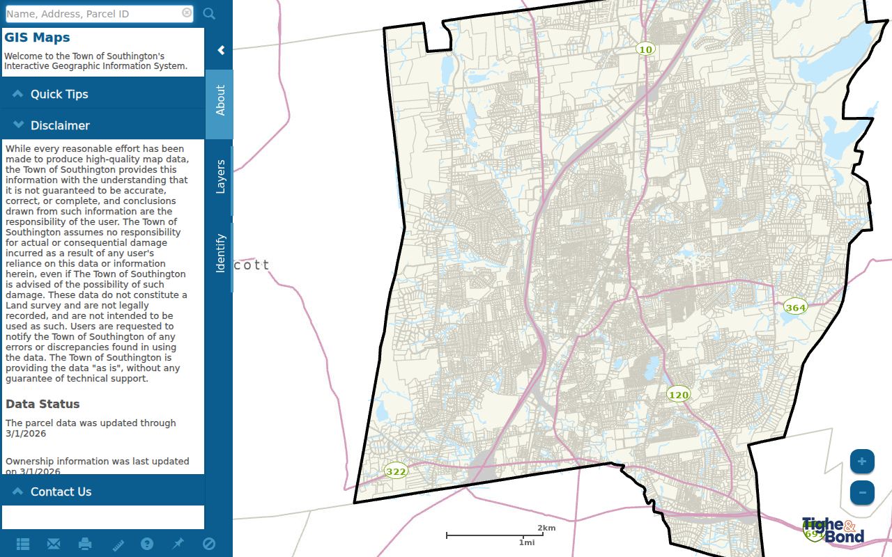
Keep the map date with any export because the viewer combines layers that were not all updated at the same time.
The related Southington ArcGIS service metadata lists the parcel, ZIP, zoning, voting, flood, sewer, historic-resource, road, and soil layers that feed this geography. The service can explain why an address appears in a certain local context, but it does not turn a visual parcel into proof of current occupancy.
The Southington ArcGIS layer relationship is visible below. It is useful for deciding which parcel or district question to ask next, not for replacing a deed, survey, or Town Clerk record.
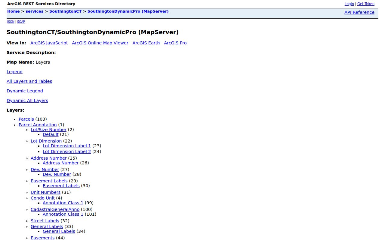
When map labels and a street address disagree, keep both values and resolve the difference through the parcel card or clerk.
Southington Streets and Village Labels
Southington's street grid is also a place-name problem. The town's meaningful sections include Southington center, Plantsville, Milldale, and Marion. A directory may use a village label where a current searcher expects Southington, and a postal result may use a village name while the municipal parcel remains in Southington. Keep the village, town, street, and ZIP wording in the notes instead of collapsing them into one label.
Old directory abbreviations can suppress repeated street words and shorten village names. A search based only on a modern full street string can miss an entry that is clear once the front matter and abbreviation key are read. The 2017 street map and the Plan of Conservation and Development are useful orientation sources, while the parcel legal description and current GIS provide the bridge back to a present record.
No official townwide street-renumbering project or year was located. When a number appears to disappear, test the old and new street spelling, the village label, the nearest cross street, the legal description, and the parcel map. Ask the Town Clerk or the library before asserting that a change happened in a particular year.
Bridge Southington Parcels to Deeds
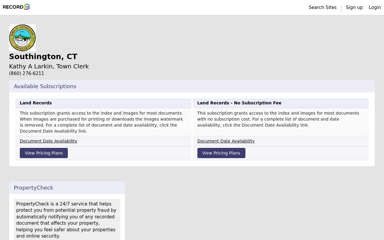
A Vision book/page reference is the cleanest handoff into the Southington Town Clerk's local land-record system. Connecticut has no county recorder to substitute for that office. The Town Clerk at 75 Main Street, PO Box 152, holds the local recording role. The current RECORDhub landing page offers a no-subscription plan created March 23, 2020 and a Land Records plan created February 20, 2021. Those plan dates are not the same as a confirmed historical cutoff. The portal's date rows did not render in the inspected session, so the exact index and image start must be verified with the clerk.
The Southington RECORDhub land-record page separates free or no-subscription index access from paid image and print paths. Image plans can remove a watermark, while pay-to-print and account settings vary. An index line points to an instrument. Read the deed or request the clerk's copy when the grantor, grantee, legal description, prior reference, or map relationship matters.
The Town Clerk's copy form accepts six volume/page pairs, special instructions, and mail or fax delivery. A Town Clerk land-record copy is $1 per page. Mail the request and payment to PO Box 152 with a stamped self-addressed envelope, or fax it to (860) 276-6229 and arrange payment through the town's permitted route, which can include a credit-card convenience charge. No turnaround promise was documented. In-person help at Town Hall is the fallback when a book/page is unclear.
The Southington RECORDhub landing page below shows the entry point and plan choices, which are separate from the local clerk's copy fee.
Use the free index to locate a record, then choose the clerk or portal image path according to the need for a readable or official copy.
Town Clerk access
75 Main Street, PO Box 152, Southington. Phone (860) 276-6211; fax (860) 276-6229. The office is the local source for land records, maps, and copy guidance.
Offline fallback
Use the clerk counter, mail or fax form, or a focused town FOIA request for an unindexed municipal record. The FOIA route is Southington's public request page.
Tax Bills and Permits by Street
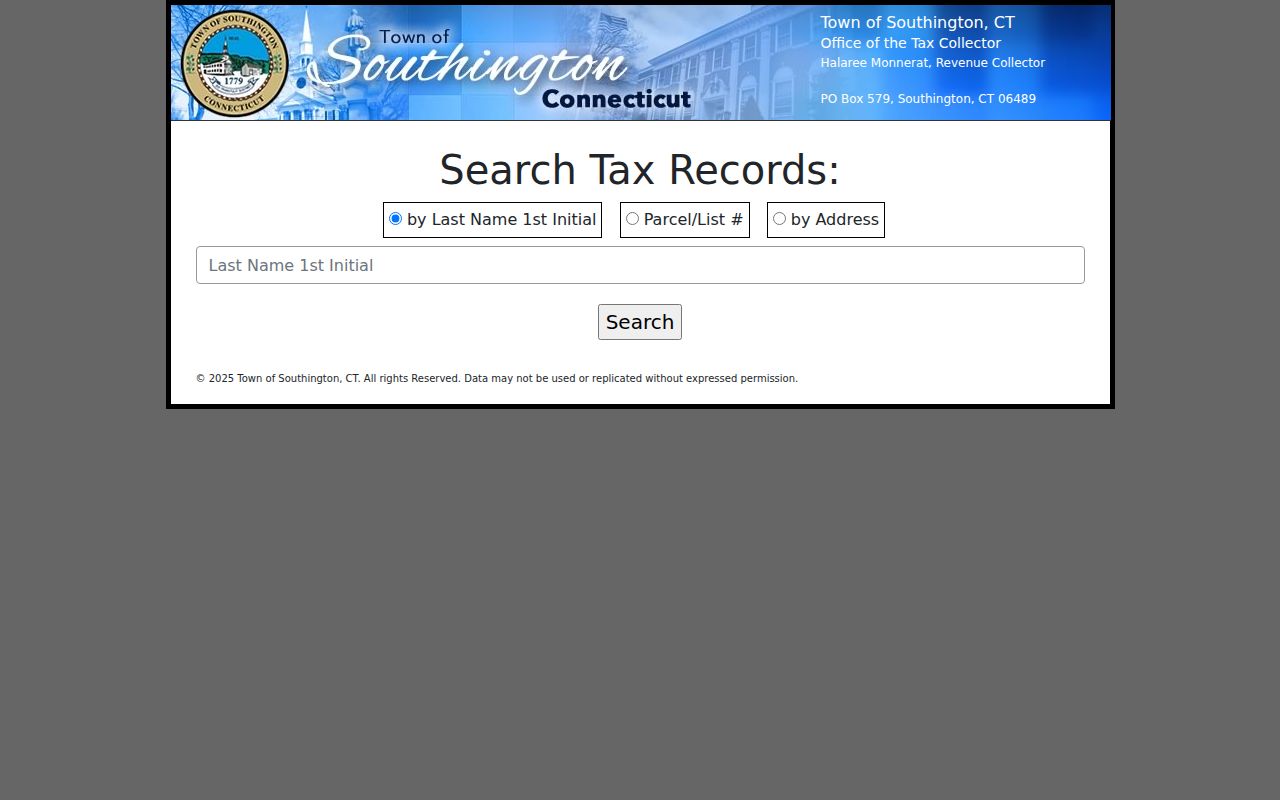
The GEMs tax search supplies a billing cross-check, not a second ownership roll. Its modes are “by Last Name 1st Initial,” Parcel/List #, and by Address. Address mode asks for a number and street name. A result can show last name or company, address or motor-vehicle description, type, year, List#, total due, and a detail view. Detail fields include gross, exemption, net, benefits, installment dates and amounts, current bill total, interest, fees, and payment history.
The inspected file is dated to 2025, with the site context stating that payment data was current as of December 31, 2025 and based on payments posted during that year. That is a time-stamped tax-payment view, not a promise about the current Grand List or everyone associated with a property.
The Southington GEMs tax search is shown below. It helps carry the street number or List# into the tax system and shows why a payment result should be read with its date and permission notice.
Use the Tax Collector at PO Box 579 and phone (860) 276-6259 when a bill field needs confirmation or the online result is incomplete.
For permits, the Southington Building Department directs users to City Squared's property lookup. Enter the number and street name without a suffix. The town says most permit history is visible and older documents are being added. Registration is required to apply or upload documents, while a focused FOIA request can address an open-permit question or a missing record. A permit date shows work or an inspection event; it does not prove that the named applicant lived at the address.
Read Historic Southington Streets by Address
The Local History Room at Southington Public Library holds phonebooks and city directories, maps, yearbooks, reports, photographs, newspapers, obituaries, and organizational records. Its non-circulating materials are used in the library. Staff can pull items, and visitors may scan, copy, or photograph items when condition permits. The library's reference service is the practical fallback when a modern street search cannot explain an older name or number.
The research record cites a Southington directory series from 1869-1962 and confirms an 1882 volume, while individual years require shelf verification. The old format may list an occupation, a house or boarding notation, a village abbreviation, and a street clue rather than a modern parcel identifier. Plantsville, Milldale, and Marion can therefore matter as much as the street string. Census schedules and newspapers add dates, relationships, and moves, but each remains a snapshot or lead.
When a street question becomes a historical collection question, the Southington Directory Book page carries the directory shelf and reading method. A current address search should still return to Vision, GIS, and the Town Clerk rather than treating an old listing as current ownership.
Southington Voter Lookup Is Name-Based
Connecticut's public voter lookup is a town-and-name tool with a date-of-birth field. It can return registration status and a polling or residence address for a named registration, but it is not a street-browse feature. Southington registrars maintain local registration. A missing result can reflect spelling, status, a protected record, a recent move, or the form's own search rules.
The full statewide voter file is a separate written CSV request with a $300 charge and permitted-use certification. Full date of birth, Social Security number, driver's-license information, protected voter data, ballot choices, and other restricted fields are not a free street roster. People who visit, receive deliveries, use utilities, or share a household without a public registration entry will not appear simply because the address is known.
Use the Connecticut Secretary of the State voter lookup for a named status check, then contact the Southington registrars at Town Hall when a correction or current form question remains. The lookup is evidence about a registration, not proof of identity or a count of everyone at a street address.
When a Southington Address Does Not Match
Online is only one access channel. Town Hall at 75 Main Street handles the Town Clerk and Assessor counters, while the Building Department is at 196 North Main Street. Phone the Town Clerk at (860) 276-6211, Assessor at (860) 276-6205, Building Department at (860) 276-6242, Tax Collector at (860) 276-6259, or library Reference Desk at (860) 628-0947 extension 5. A call can identify the right custodian before a copy request is sent.
Mail and fax are documented for land-record copies. The Town Clerk's birth and death page also describes in-person, mail, and email routes for those qualifying records, while a FOIA request should name a defined municipal record and date range. Police, archive, cemetery, and historical questions have their own custodians. Use the Local History Room, Southington Historical Society at 239 Main Street, Barnes Museum, Connecticut State Library, or FamilySearch Center when the modern street chain stops.
Address continuity is a research question, not an invitation to guess. Compare the USPS result, village label, Vision situs, GIS parcel, legal description, old directory abbreviation, and cross street. If those clues still disagree, ask the Town Clerk or library whether a historical map, deed book, or directory explains the gap.
Limits of a Southington Street Directory
A street directory cannot show every person connected with an address. A useful street directory note names the source and date. The Assessor's owner and mailing fields describe the tax record. A deed describes a recorded legal transaction. A voter lookup describes a named registration. A historic directory shows a dated listing. None is a public list of private household, utility, delivery, or motor-vehicle information. The Connecticut Address Confidentiality Program and voter safety protections can also hide a protected residential address from ordinary displays.
Use names, addresses, parcel identifiers, and deed references only for a lawful personal question such as family history, reconnecting with a former classmate, understanding a property record, or checking a civic fact. Verify an important result with the office that holds it, and publish the minimum needed to explain the research.
Lawful use. Southington address records are for personal, lawful research and neighborhood understanding. Do not use a street directory to stalk, harass, intimidate, or harm another person.